Drone Surveys
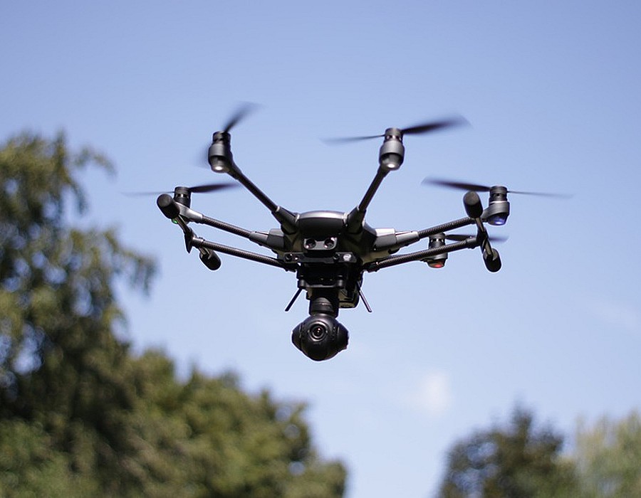
KTC has recently commissioned the use of a drone to record the formation of queues on an off-slip at a junction on the Strategic Road Network. In this case the drone was used to determine how far along the slip road the queue extended and whether it interfered with the free flow of traffic on the mainline. Static cameras would normally be installed to record vehicle flows and the formation of queues on an off-slip but suitable camera fixing points are not always available to view the whole of the slip lane and are likely to require traffic management to install overnight. Employing a traffic management company is expensive and, on the Strategic Road Network, requires permission from Highways England which needs to be arranged some time in advance. The use of drones has its own costs but is arguably more flexible and can provide good quality information and, depending on where the drone is positioned, can include a recording of operating conditions on the road network over a wider area than just the slip lane.
The use of drones has its drawbacks, one of which is adverse weather conditions. Rain and very windy weather can mean that drones cannot fly. Also, limited battery life can mean that the drone needs to descend for a new battery, leading to interruptions in the camera footage, but it is likely that further improvements in technology and battery life will reduce such breaks in recording. The use of a tethered drone, with power supply, may also remove this issue.
